Great Streets of Today

Berlin’s architectural, urban planning and engineering history is epitomised by its streets. They reflect the history of Berlin with its economic booms, wars, crises, dictatorships, destruction, division and reunification. The once capital of Prussia, a growing metropolis of the German Empire, it later played host to the progressive theatrics of the Weimar Republic. It became the imperial capital of the Nazi dictatorship, before division led it to become exemplar of the meaning of both East 

and West during the Cold War. After, it would become the laboratory of reunification. The streets bear witness to the tangible power of everyday life: pedestrian, rail, car and bicycle traffic. The city’s main streets testify to the widely differing visions that have shaped its design, a design however, immer modern (always modern), in any case. 

Curators: Prof. Dr. Harald Bodenschatz, Christina Gräwe 
Junior-Curator: Celina Schlichting 
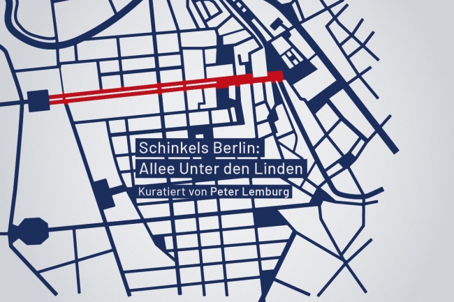
Allee Unter den Linden
The avenue Unter den Linden was a magnificent street from the early days of absolutism - extraordinarily, even lavishly wide, with four rows of trees, a model for later main streets. In the first half of the 19th century, Karl Friedrich Schinkel was the main architect who shaped it.
More info
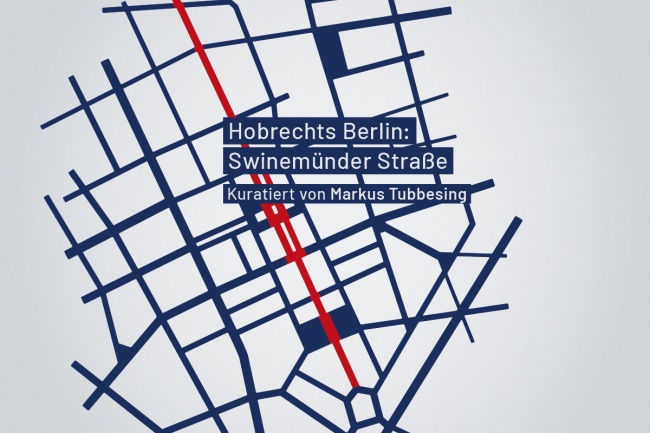
Swinemünder Straße: Hobrechts Berlin
Swinemünder Straße
The streets of Berlin's city centre are unique in Europe: at least 22 metres wide, flanked by 22-metre-high apartment blocks. The basis for this was primarily the development plan by James Hobrecht in 1862. Swinemünder Straße is one of the most important urban developments in the Hobrecht plan.
More info
Kurfürstendamm
Kurfürstendamm
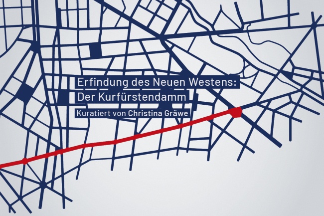
City West is also a special feature of Berlin: a place with no history quickly became the main centre of a major city. The centrepiece of the area's rapid development was the construction of Kurfürstendamm, which was modelled on the Champs Élysées in Paris.
More info
Weimarer Republik: Mitte frei für das Automobil
Weimarer Republik:
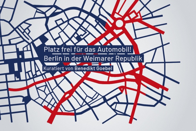
In the Weimar Republic, motorisation was still very modest. Nevertheless, major plans were drawn up for a car-friendly reorganisation of the city. One highlight was the redevelopment plan for the southern part of the old town, which envisaged the radical remodelling of the main street between Spittelmarkt and Alexanderplatz.
More info
Westachse
Westachse
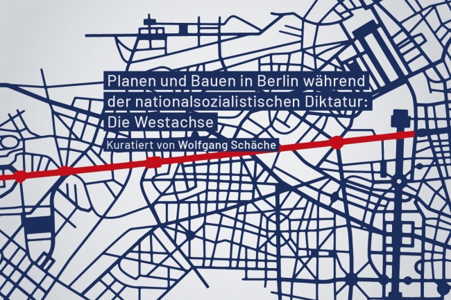
During the Nazi dictatorship, Albert Speer's transport plan envisaged the total expansion of the Berlin metropolitan area in favour of the automobile. Numerous new axes and rings were planned, culminating in the outer motorway ring. Within Berlin, the plans along the western axis in particular were realised.
More info
Bundesallee in West-Berlin: Auto, Auto über alles
Bundesallee in West-Berlin
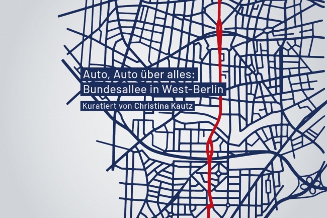
The Bundesallee, formerly Kaiserallee, with its beautiful squares, was the backbone of the most elaborate urban development figure of the New West. After the war, it became a model for the car-friendly conversion of West Berlin's main streets, a conversion that damaged the entire street and its squares.
More info
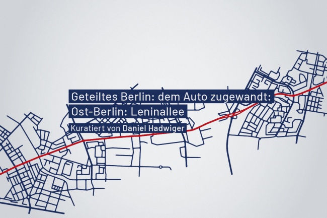
Leninallee in Ost-Berlin: Und dem Auto zugewandt
Leninallee in Ost-Berlin
Its very name underlined the extraordinary importance of this street, which connected the city centre with Marzahn. Leninallee was a prime example of car-friendly urban planning in East Berlin. Its uses are often attractive, but without any connection and usually without any reference to the street.
More info
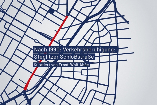
Schloßstraße in Steglitz
After the fall of the Berlin Wall, Berlin experienced a new surge in car traffic, but soon also increasingly vociferous criticism of the car-friendly city. Steglitzer Schlossstraße is one example of a main road being dismantled during this period, but this was only possible because of the parallel city motorway (Westtangente).
More info